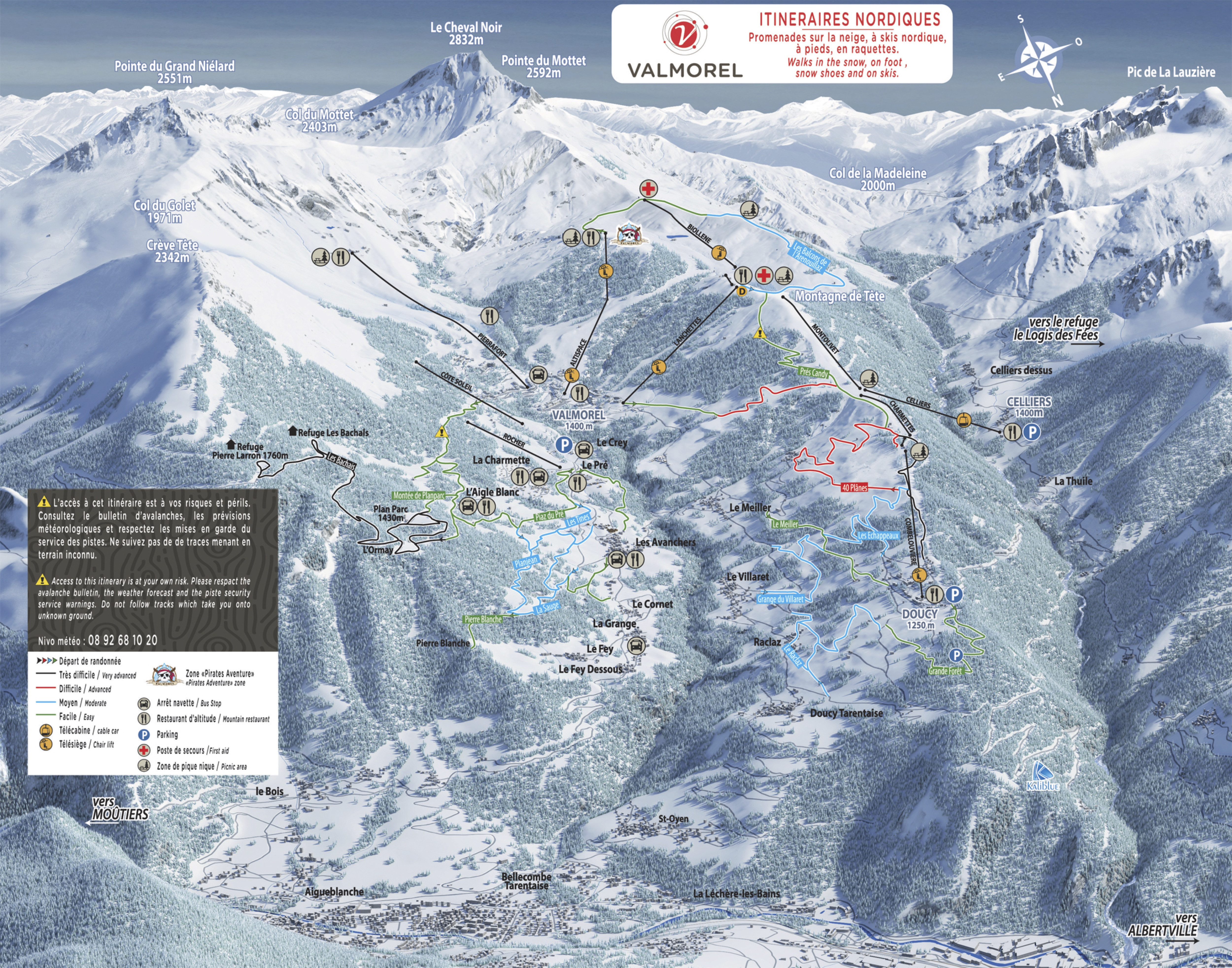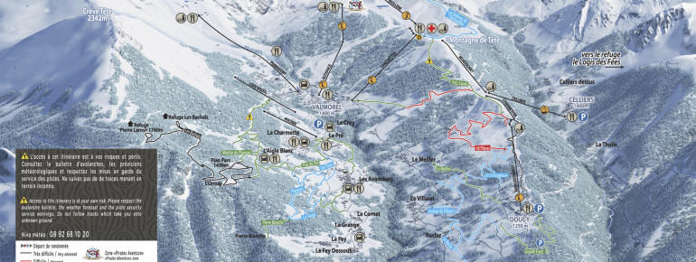
The Cross-Country Area
The Valmorel ski area has two cross-country ski areas with a total of well over 80 kilometres of trails: Valmorel and Nâves. Valmorel offers 50 kilometres of cross-country trails that can be used free of charge. At Grand Nâves, you have around 40 kilometres at your disposal. The starting point for the circular trails of Nâves is Le Tovet.
The Most Beautiful Tracks
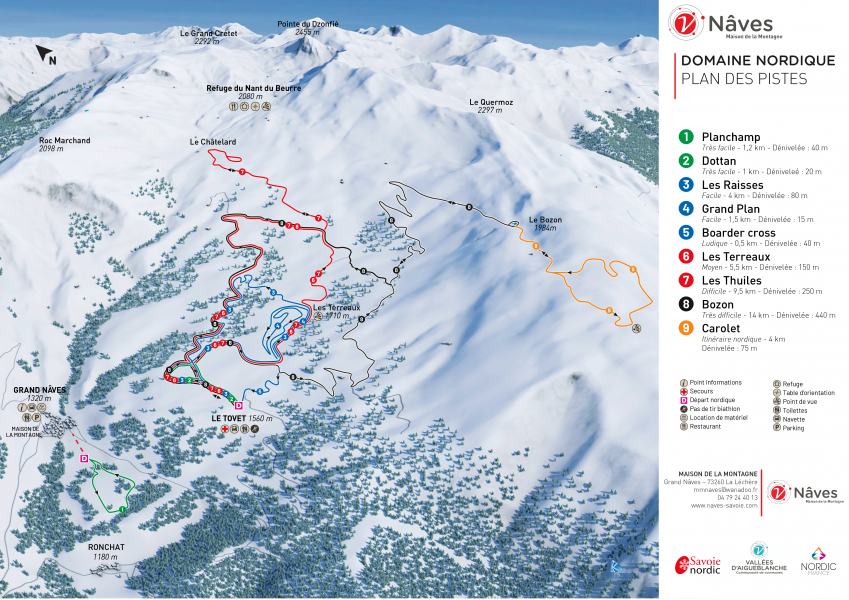
Nâves:
- Planchamp: 1.2 km - very easy
- Les Raisses: 4 km - easy
- Les Thuiles: 9.5 km - difficult
- Bozon: 14 km - very difficult
Valmorel:
- Grande Forêt: 4 km - very easy
- Les Balcons de l'Arenouillaz: 4 km - easy
- 40 Plânes: 2.8 km - medium
- Les Bachais: 5.4 km - difficult
Interesting facts
- Offering 80 km cross-country trails, Cellier Valmorel is among the 15 largest Cross-Country Skiing Areas in France.
- Elevated between 1,390 m and 1,800 m, the Cross-Country Skiing Area is among the 10 highest elevated Cross-Country Skiing Areas in France.
- Snow coverage is usually best during March, offering an average snow depth of 198 cm at summit elevation and 51 cm at the base. Therefore Cellier Valmorel is among the 10 cross-Country Skiing Areas with best snow conditions in France.
Video
01:20
Station de ski de Valmorel : teaser
Getting Here
Valmorel is located just under 90 kilometres east of Chambéry. From there, take the A43/A430 towards Albertville. Then continue on the N90 via Tours-en-Savoie to Aigueblanche, where you either turn onto the D95, which leads to Valmorel, or take the D93 to Nâves.
Travel Deals & Tips
Advertisement