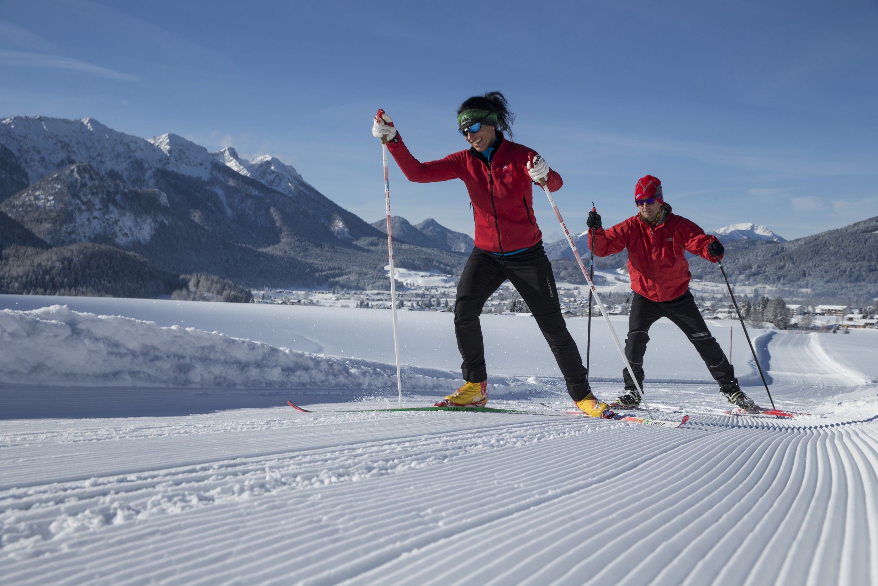
The Cross-Country Area

Sunny skiing on the trails surrounding Inzell
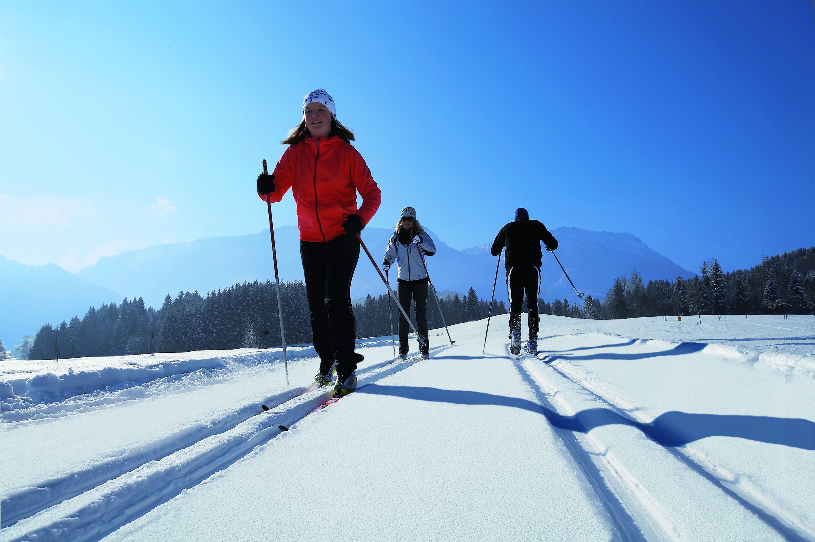
Nestling in the majestic Alpine foothills, the winter sports resort of Inzell boasts 45 kilometres of trails for pure cross-country pleasure. The easy to intermediate routes run through the flat, broad and sun-kissed valley, and are immaculately groomed for both styles of skiing. There are eight trails to choose from here, all interconnected. As a result, everyone can easily put together their own cross-country itinerary.
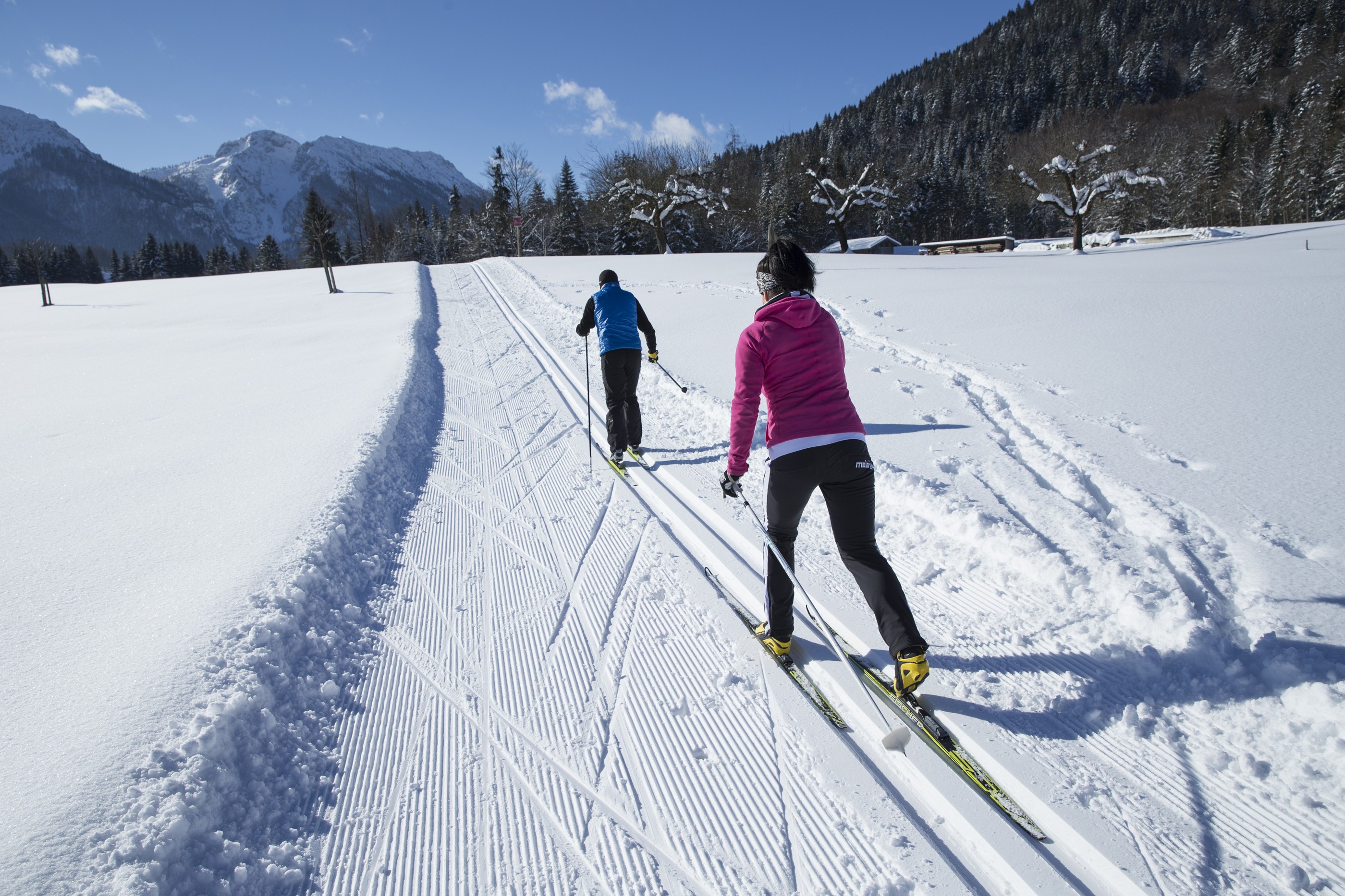
Varied network of trails
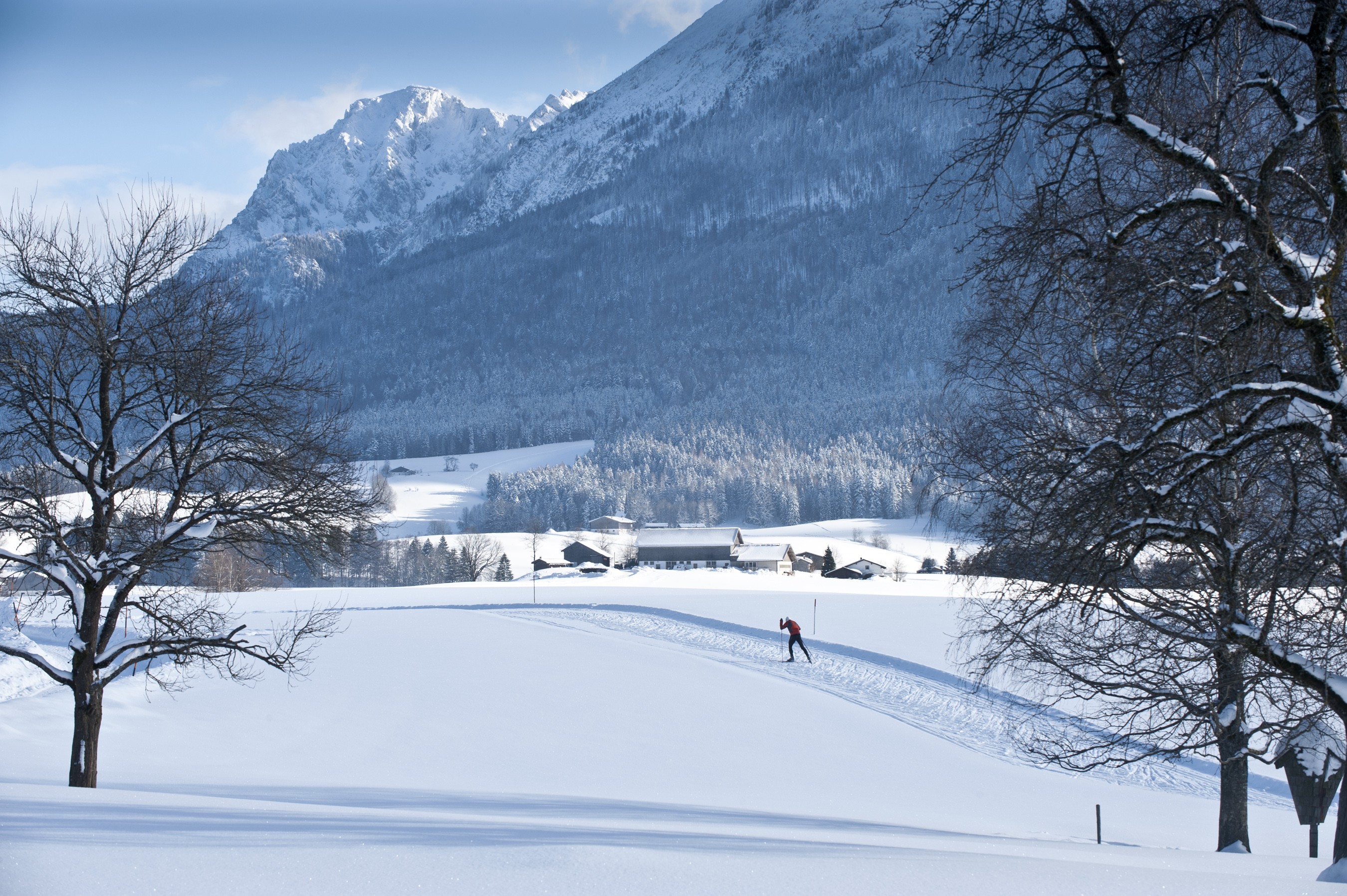
The roughly 6 km Außerlandloipe is a particularly popular trail here. This demanding route at the foot of the Teisenberg is particularly attractive for endurance athletes, as there are several climbs and descents to be circumnavigated. Cross-country skiers who take on the challenge are rewarded with quite memorable views along the way. If you’re looking for a slightly mellower route, then look no further than the Filzenloipe. This leads over the Inzeller Moor and through an enchanting birch forest – a real treat for all nature lovers. Ambitious and athletic skiers can also try the Chiemgau-Marathon-Loipe.
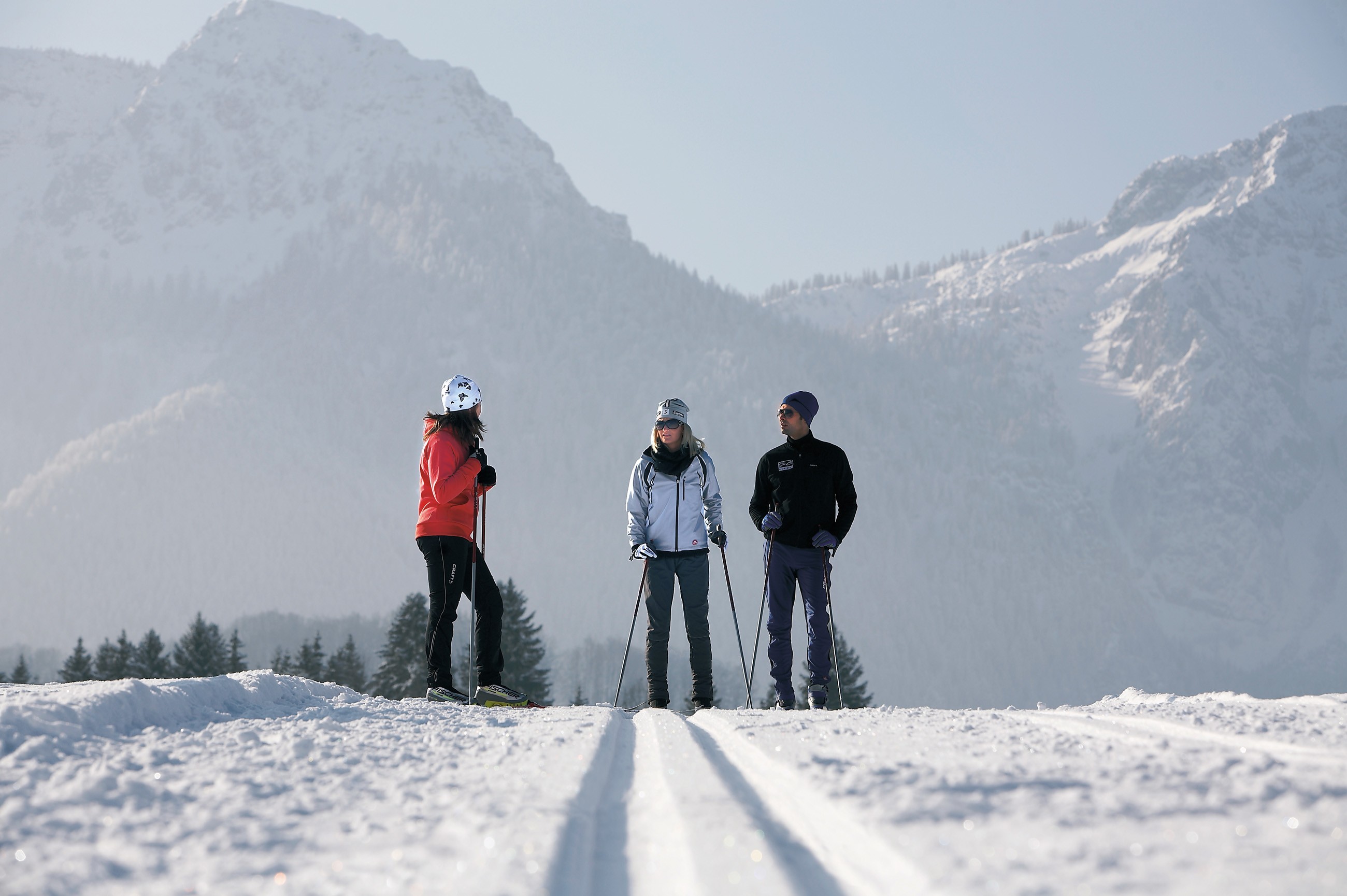
Chiemgau-Marathon-Loipe
Inzell, Ruhpolding and Reit im Winkl are all connected by the roughly 35-km Chiemgau-Marathon-Loipe. This demanding route runs alongside the Alpenstraße and through a picturesque mountain landscape, past the Weitsee, Mittersee and Lödensee lakes. In Ruhpolding and Reit im Winkl, cross-country skiers can then access a further 100 kilometres of trails.
Skiing after dark
In order to combat those short winter days, there’s a night trail for cross-country skiing in the heart of Inzell. The route from Camping Lindlbauer Inzell is floodlit every Tuesday, Thursday and Friday from 5 PM to 9 PM, and is a magical winter experience. The 1.8 km route encompasses a vertical difference of 23 metres.
A seal of quality for cross-country skiing
If you’re looking for the perfect cross-country holiday in Inzell, you’re sure to find it among the region’s quality cross-country hosts. These hosts certified by Chiemgau tourism are well-versed and ideally set up to offer cross-country skiers the perfect lodgings. This certified accommodation includes Gästehaus Hirschbichler, Pension Restner, Haus Mayerbüchler and the Sport Navigator Academy. The comprehensive Nordic offering is rounded out with professional cross-country ski courses and ski hire centres.
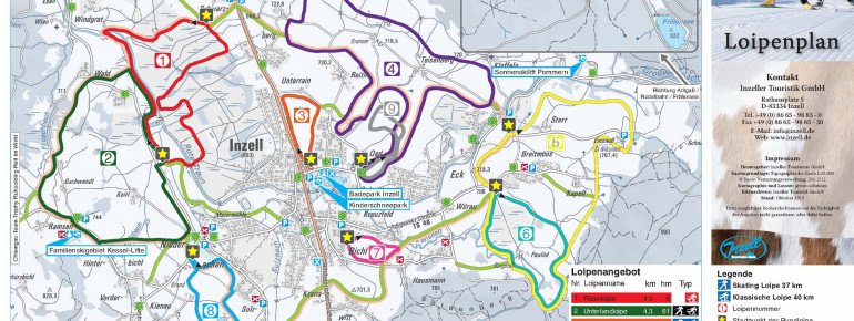
The Most Beautiful Tracks

Overview of the trails in Inzell
- Filzenloipe over Inzeller Moor (4.3 km, 8 vertical metres, intermediate)
- Unterlandloipe (4.3 km, 61 vertical metres, hard)
- Dorfloipe (1.4 km, 5 vertical metres, easy)
- Außerlandloipe at the foot of Teisenberg (6.9 km, 95 vertical metres, hard)
- Oberlandloipe (5.2 km, 71 vertical metres, hard)
- Falkensteinloipe (2.5 km, 9 vertical metres, easy)
- Schulloipe (1 km, 5 vertical metres, easy)
- Sulzbachloipe (3.1 km, 10 vertical metres, easy)
- Nachtloipe (1.8 km, 25 vertical metres, intermediate)
- Inzell-Runde (encompasses sections of other trails, 13.7 km, 171 vertical metres, hard)
- Connecting trails (around 9.5 km)
Interesting facts
- The highest point of the track is 750 m above sea level.
- Snow coverage is usually best during February, offering an average snow depth of 71 cm at summit elevation and 38 cm at the base.
Getting Here

By car:
Inzell is easily and quickly accessible from Munich or Salzburg via the A8. Simply exit the motorway at the Siegsdorf junction and take the B306 until you reach Inzell. Parking options are available at the trail access points, such as at the Badepark.